top of page

PAG LITHIUM PROJECT
 CARAMAT - ON - CANADA

A summary of the reconnaissance mission in PDF

Open with Adobe Reader for full multimedia support 

MAPPED DATA

Organized and location specific

Data collected during the operation can be viewed via Gaia GPS.


Geo-referenced photos, notes, GPX Tracks, and more can all be viewed by using the map to the side or visiting their site directly via the link below. 

Trace and Outcrop.jpf

TRACKS &
OUTCROP

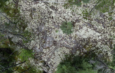
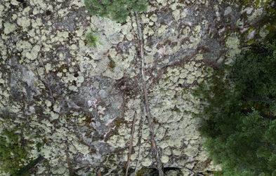
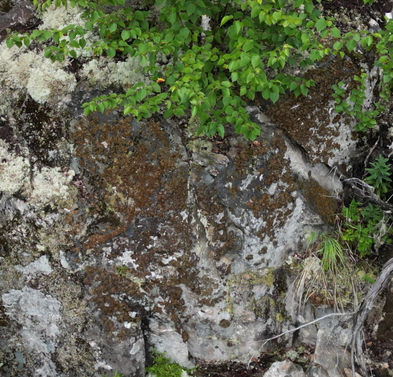
The geology appears to be consistent throughout much of the claim area, alternating contacts between a white quartz and mafic zones. Grey and smokey quartz veins are visible in both rock types. Many contacts were visible. Many more outcrops were viewed and photographed than appear on this page. 

OUTCROP 7

Ground level LiDAR scans viewed here are of a low resolution to aid with web page loading times. Full resolution scans can be downloaded in the files area.

Content on this page is created and provided by Remote Recon for the Noront Group.
This page is confidential and only intended for those invited by either Remote Recon or Noront Group.

bottom of page